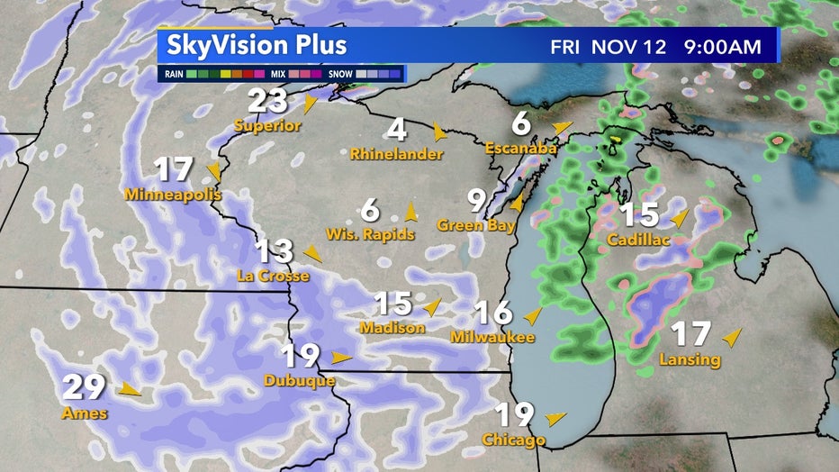
Our first widespread snow of the season is looking more and more likely Friday morning, Nov. 12 as the back end of a slow rotating low brings down colder air to end the week.
Snow chances begin early Friday morning, Nov. 12, and will continue throughout the day. Accumulation chances look low but trace amounts will be possible across southeast Wisconsin. The highest totals will likely be in the SW part of the state and in parts of Iowa.

SkyVision Plus Friday morning, Nov 12 first snow of the season possible
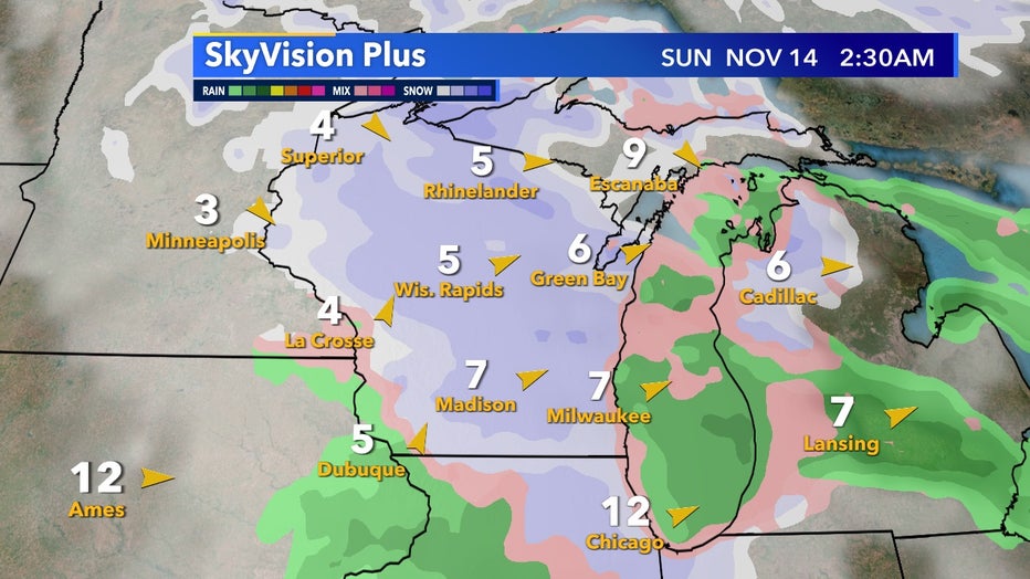
Those that don't see snow Friday, Nov. 12 have another widespread chance come early Sunday morning, Nov. 14 as another system moves in from the northwest.
Just like Friday's system, the highest odds of accumulations stay to our west but it is possible we see another dusting of snow by the end of the weekend.

SkyVision Plus Sunday early morning, Nov. 14 another chance of snow
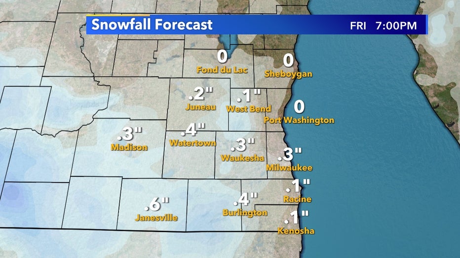
The snow totals to come from Friday's system, while still subject to change, as of Wednesday morning Nov. 10 a widespread chance of a trace to dusting is possible. Typically, our first trace of snow occurs by Oct. 22 so while a little late, it does look like our snowless streak comes to an end by Friday, Nov. 12, and for the whole state by Sunday, Nov. 14.

Snowtotals have a chance to be a trace to dusting Friday morning, Nov. 12
From: https://www.fox6now.com/weather/first-snow-of-the-season-possible-friday-morning


No comments:
Post a Comment